 ES
ES RU
RU DE
DE PL
PL IT
IT TR
TR FR
FR BR
BR NL
NL CN
CN CZ
CZ UA
UA HU
HU SE
SE Unlimited Downloads
  Sale
Sale 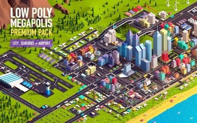




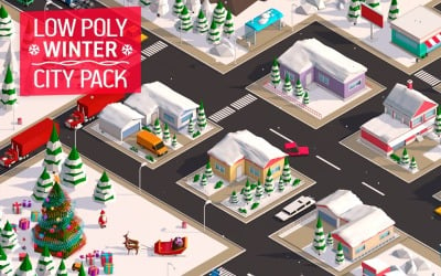
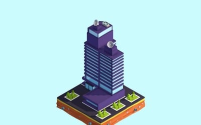
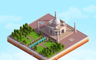
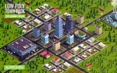










5 Best Best Landscape 3D Models 2026
| Template Name | Downloads | Price |
|---|---|---|
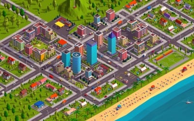
| Low Poly Megapolis City Premium Pack 3D Model | 4 | $201 |
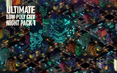
| Ultimate Low Poly City Night Pack 1 3D Model | 0 | $121 |
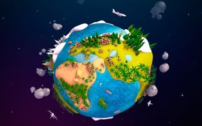
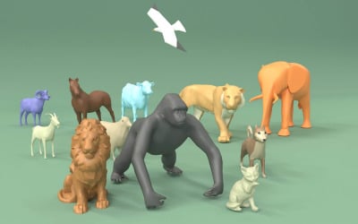
| Cartoon Lowpoly Earth Planet 2 UVW 3D Model | 5 | $26 |
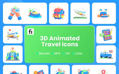
| 3D Animated Travel Illustration | 0 | $31 |
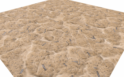
| Sand Highpoly Landscape 3D model | 0 | $30 |
Incorporating Elementor PRO's Motion Effects Into a 3D Parallax Hologram
Landscape 3D Models Q&A
How can landscape 3D models be used?
Landscape 3D models are becoming a lot more common in this day and age. They're known for providing stunning visuals that leave viewers in awe. In a variety of contexts, you may put them to good use. For example, creating virtual reality experiences, improving the way a game or movie looks, or even just embarking on a virtual hike.
What software is used to edit landscape 3D models?
The most popular programs on the market right now include Maya, Cinema 4D, Blender, 3DS Max, Unreal, and Unity. Each of these incredible software packages comes fully packed with powerful features and capabilities. They make them suitable for creating mind-blowing visuals of parts of our planet. From mountains to valleys to rivers to oceans, these programs give you the tools you need to make landscape 3D models that look incredibly real.
How do I find the right landscape 3D models for my needs?
Here are a few steps to finding the most suitable design for your needs. First, please use the filters on the left sidebar to choose the features, software compatibility, file type, and color you need. Second, sort by price, number of sales, upload date, or rating—depending on what you prioritize. Lastly, look carefully at the screenshots the authors give you before you buy. This will ensure they're an appropriate fit for your needs.
What is the difference between nature and landscape 3D models?
Nature 3D models are created by taking photos of the natural environment and using them as reference points. Landscape designs, on the other hand, are generated by collecting data on landforms. You can also build them by scanning buildings or trees and making digital files from the scanned images.